Tricentennial Series Water Management
This article is part of a series that delves into the 300 year history of architectural, transportation and planning in New Orleans.
From the Mississippi River to Lake Borgne to Lake Pontchartrain to the wetlands, New Orleans has always been surrounded by water since she was founded in the early 18th century. Toss in the fact that now most of the city is below sea level and it’s clear that it is not the most habitable location. There is a long legacy of engineers, surveyors and architects that have worked on identifying problems and providing solutions for this issue.
While most of the city could live in houses built on stilts to accommodate periodic flooding, back of town was uninhabitable. There was no infrastructure and the swamps were infested with mosquitoes carrying diseases such as yellow fever and malaria. Fortunately city leaders have been chartering studies, surveys and plans on how to deal with water for a long time.
From the Mississippi River to Lake Borgne to Lake Pontchartrain to the wetlands, New Orleans has always been surrounded by water since she was founded in the early 18th century. Toss in the fact that now most of the city is below sea level and it’s clear that it is not the most habitable location. There is a long legacy of engineers, surveyors and architects that have worked on identifying problems and providing solutions for this issue.
Back of Town
Back of Town refers to the low-laying area away from the Mississippi River and towards Lake Pontchartrain – if the French Quarter and the areas along the Mississippi River are the “front” of town then the area going toward Lake Pontchartrain is the ”back”. This term doesn’t appear on many maps as it was part of the local vernacular. The term often seen in vintage maps is a bit more generic yet still striking – “Cypress Swamp”. This is where most of the water from the city drained to through natural bayous and man-made canals. Today these neighborhoods have names such as Gentilly, Mid City, Lakeview and Gerttown.While most of the city could live in houses built on stilts to accommodate periodic flooding, back of town was uninhabitable. There was no infrastructure and the swamps were infested with mosquitoes carrying diseases such as yellow fever and malaria. Fortunately city leaders have been chartering studies, surveys and plans on how to deal with water for a long time.

1798 Map showing the French Quarter surrounded by “Cypress Swamp” and two canals connected to Bayou St. John (noted in green). Image is public domain and obtained via Wikimedia Commons

1863 Map of New Orleans depicting a vast majority of what is now the city as swamps and wetlands as well as dozens of drainage canals
Image is public domain and obtained via Wikimedia Commons
Image is public domain and obtained via Wikimedia Commons
Early Solutions
In the 1830’s, engineer George T. Dunbar had some plans to manage storm water. One of Dunbar’s designs had a steam-powered engine attached to a paddle wheel that pushed water down the underground Orleans Canal to Bayou St. John, then towards Lake Pontchartrain. Due to the Financial Panic of 1837 the steam-powered engine was not completed. Fortunately a series of ditches and canals were completed which drained water down the natural slope of what is now Claiborne Avenue, then to the newly completed Orleans Canal (at the time it was the Girod Canal) and into Lake Pontchartrain.Surveyor Louis H. Pilié completed the drainage report of 1857 which was the first survey-grade elevation map of New Orleans. His study called for open canals draining to Lake Pontchartrain as well as levees at the lake. The following is an excerpt from his report:
“When the drainage of our swamps shall be perfected, our city will rank among the healthiest of the world. The growth and population of our city will rapidly appear, our commerce will be largely benefited, our population, far from seeking a residence during the summer and sickly months, will remain in the city and erect delightful residences along the lake shore, and upon the now swamp lands of our city, and thus a large amount of property, at present valueless, will amount to millions and swell our assessment rolls.”
As our understanding of how water affects us has evolved, these studies needed to be done in order to provide solutions. One of the solutions that was invented in New Orleans has been in use for over 100 years in India, China, Egypt, and the Netherlands – the wood screw pump.
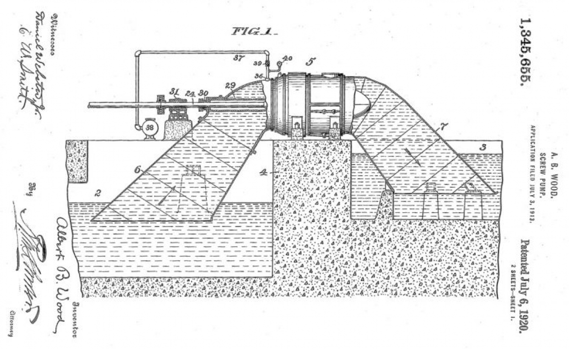
One of the several Wood Screw Pump patents, 1920
Image is public domain and obtained via Wikimedia Commons
Image is public domain and obtained via Wikimedia Commons

Dedication of the first Wood Screw Pumps in 1915 at pumping station no. 1
Image is public domain and obtained via Wikimedia Commons
Image is public domain and obtained via Wikimedia Commons
Wood Screw Pump
Albert Baldwin Wood was a native New Orleanian, Tulane Alumni, engineer and inventor. In 1899 Wood was hired by the newly formed Sewerage and Water Board and in 1913 he had designed a pump that drained the back of town into the lake.In 1915 the first Wood Screw Pump was completed and installed at pumping station no. 1 at 2501 S. Broad Street and still operates today. It is twelve feet in diameter, moved an estimated 392 million gallons a day and at the time the biggest and most powerful pump of it’s kind in the world. Pumping Station No. 1 was added to the National Historic Mechanical Engineering Landmark by the American Society of Mechanical Engineers in 1974.
Wood had 38 patents at the time of his passing which made him a wealthy man, although he never charged the Sewerage and Water Board for any royalties – the Wood Screw Pump was his gift to the City of New Orleans.
Emptying the back of town did have its drawbacks. As the water is removed the ground continues to sink – subsidence has created the “bowl” that is most of New Orleans, leaving the city more vulnerable to flooding in the long term. This is an issue that current water management plans are addressing and we are realizing that the solution is not a single large sweeping item, rather one that thinks on a smaller, more holistic, scale.
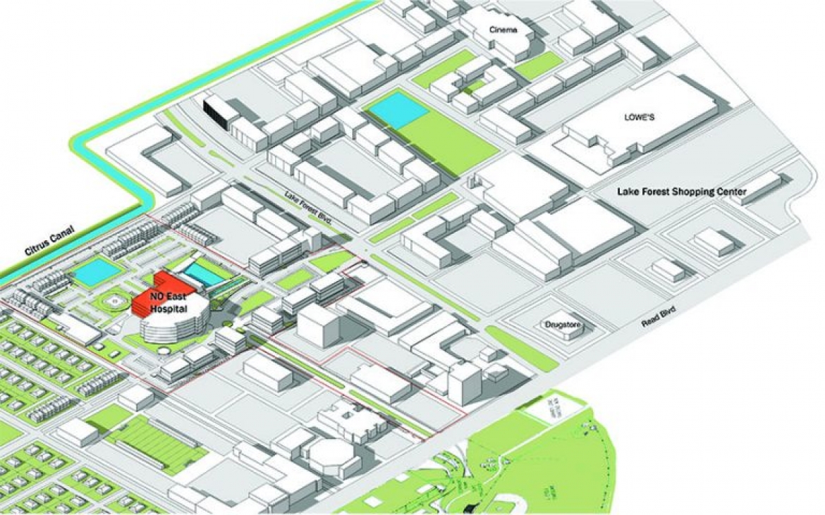
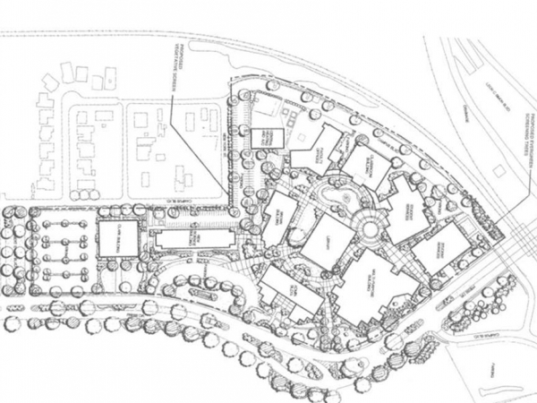
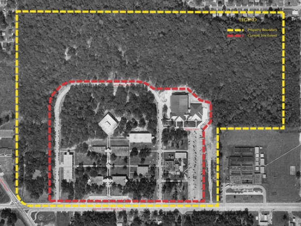
In 2015 Manning Architects created a Master Plan for the New Orleans East Hospital which is the only major healthcare facility in the area since Hurricane Katrina
Working With Nature
We are now cognizant that water management can’t be done by the city alone. In order for problems like subsidence and pollution to be overcome, stormwater must be managed on a smaller scale and using things like rain gardens and bioswales (along with good design) it can be done. Keeping rain water on site, as opposed to running it all into storm drains, keeps the soil moist healthy, mitigating the effects of subsidence. They can even improve urban aesthetics thus quality of life.In 2013, as part of an interdisciplinary team led by Waggonner & Ball Architects, Manning Architects developed neighborhood-scale designs and implementation strategies for low impact stormwater management green infrastructure that addressed flooding, subsidence, nonpoint-source pollution, urban aesthetics and quality-of-life. Improvements were comprised of stormwater best management practices and innovative techniques, focusing on preventing land subsidence, increasing water storage and promoting quality of life through “living with water.”
Manning Architects engaged in community outreach and the identification and evaluation of potential sites for stormwater infrastructure throughout the greater New Orleans area.
The Living With Water program is designed to help neighborhoods collaborate with each other to achieve a sustainable city. Those reports can be read at https://livingwithwater.com/blog/urban_water_plan/reports/.
The New Orleans Ernest N. Morial Convention Center Linear Park was designed by Manning Architects, in a joint venture with Eskew Dumez Ripple, and will be under construction in 2018. The new park space will repurpose 7.5 acres of roadway space into a lushly landscaped continuous pedestrian promenade along the front of the Convention Center. 100% of rain that falls on the park will be detained and filtered on site through the use of bioswales, rain gardens, decomposed granite, and crushed limestone. Visitors moving from one end of the facility to the other will have opportunities to stop for food, view public art, or just sit and enjoy the scenery.
Our Contributions
Stormwater management has a long legacy in New Orleans and includes a wide variety of design disciplines. We are honored to build upon the 300 years of innovation that got us here by working with our architect, engineering and planning peers to continue to use the latest scientific knowledge to improve the city of New Orleans.Manning Architects has completed the following projects which have made a positive impact on stormwater management in New Orleans:

